Pointcloud to 2D As-built Drawings
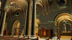
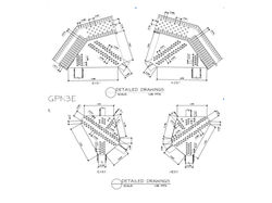
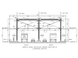
Digiscript provides accurate and complete 2D as-built drawings for bridges, roads, industrial facilities, heritage buildings, and various complex structures based on 3D laser scanning pointlcoud data.
We provide as-built drawings even if previous drawing records no longer exist, damaged, or lost over time. The rapid field survey and millimeter precise measurements captured from 3D laser scanning are processed into various type of standard architectural & engineering drawings such as floor plans, ceiling plans, elevations, sections, site plan, and topographical maps that can determine millimeter accurate deviations of the as-built vs design.
These drawings serve as baseline information needed for proper planning, cost estimation, structural assessment, renovations, retrofit, or used for regulatory compliance for safety or permit requirements.
See our featured projects and sample drawings below.
 |  |  |
|---|---|---|
 |  |  |
 |  |  |
 |  Describe your image. |
.png)